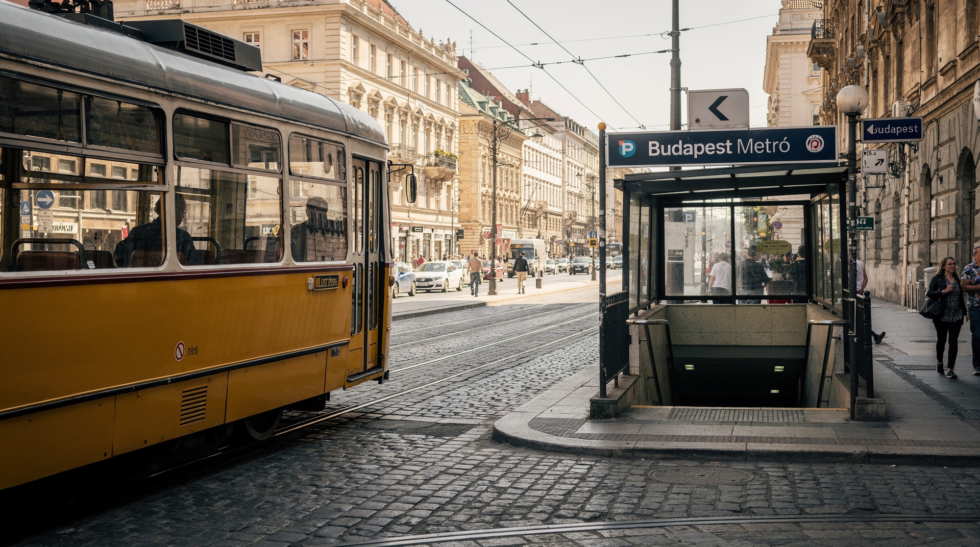
Budapest metro guide: lines, maps, fares and tips

How many metro lines does Budapest have, and where do they go?
Budapest has four metro lines: M1 (yellow, Andrássy Avenue to City Park), M2 (red, east-west from Keleti to Déli), M3 (blue, north-south through Pest from Újpest to Kőbánya-Kispest) and M4 (green, river crossing from Kelenföld to Keleti via Gellért). All lines converge at Deák Ferenc tér.
Why Budapest’s metro matters for tourists
Budapest’s metro network is small by capital-city standards — four lines, 52 stations — but it is precisely the right size for a city-trip. The four lines converge at Deák Ferenc tér in the heart of Pest, which means you can reach almost any tourist sight within one or two segments of a single line. Understanding the network takes about five minutes; using it confidently takes about the length of your first journey.
| Lines | 4 (M1 yellow, M2 red, M3 blue, M4 green) |
| Single fare | 500 HUF |
| Hours | Roughly 04:30–23:30; night buses cover the gap |
| Validation | Required on all lines — barriers on M2/M3/M4, honour system on M1 |
| Accessibility | M4 fully accessible; M1 not accessible; M2/M3 limited |
| Main hub | Deák Ferenc tér (M1, M2, M3 interchange) |
Line by line: what each metro serves
M1 — the yellow line (Millennium Underground)
The M1 opened in 1896, making it the oldest underground railway on the European continent. It runs below Andrássy Avenue — a UNESCO World Heritage street — from Vörösmarty tér in the city centre to Városliget (City Park).
Key stops for visitors:
- Vörösmarty tér: Starting point; Christmas market location; access to Váci utca
- Opera: Hungarian State Opera House, Andrássy Avenue cafés
- Oktogon: The main Andrássy intersection; tram 4/6 transfer
- Hősök tere: Heroes’ Square, Museum of Fine Arts, entrance to City Park
- Széchenyi fürdő: Széchenyi Thermal Bath — step off here for the baths
The carriages are tiny and the stations are ornate with their original 19th-century tiles. Ride the M1 for the experience as much as the transport. Service runs every 3–5 minutes.
M2 — the red line (east-west)
The M2 is the busiest commuter line, running from Keleti pályaudvar (Eastern Railway Station — Budapest’s international train hub) westward under the city to Batthyány tér on the Buda bank, then continuing to Déli pályaudvar (Southern Railway Station).
Key stops:
- Keleti pályaudvar: International trains, night trains to Vienna, Prague, Krakow
- Blaha Lujza tér: Transfer point for trams 4/6; Grand Boulevard (Nagykörút)
- Deák Ferenc tér: Main interchange with M1 and M3
- Batthyány tér: Buda riverside; tram 19/41 connection; panoramic view of Parliament from the square
The M2 crosses under the Danube, though you won’t see the river — the tunnel is deep underground.
M3 — the blue line (north-south through Pest)
The M3 is the longest metro line, running north to south through eastern Pest. It handles high passenger volumes between residential areas and the city centre. Parts of the line were renovated between 2017 and 2023; check BudapestGO for any remaining engineering closures.
Key stops:
- Kőbánya-Kispest: Southern terminus; BKK bus hub; airport bus 100E terminates here for certain journeys — though most visitors use Deák Ferenc tér as the 100E end point
- Kálvin tér: Great Market Hall (walk 5 minutes south); National Museum; transfer for trams
- Astoria: Heart of historic Pest; Hotel Astoria; Elizabeth Boulevard
- Deák Ferenc tér: Main interchange
- Nyugati pályaudvar: Western Railway Station; direct trains to northern Hungary
M4 — the green line (river crossing)
The M4 is the newest line (opened 2014) and the most modern. It runs from Kelenföld vasútállomás in southern Buda, crosses under the river, and terminates at Keleti pályaudvar in Pest. It provides the fastest public transport crossing of the Danube.
Key stops:
- Kelenföld vasútállomás: Regional and suburban train connections from the south
- Gellért tér: Gellért Thermal Bath; Liberty Bridge; trams south along Buda bank
- Fővám tér: Great Market Hall (street level); southern Pest riverfront
- Kálvin tér: Transfer with M3
- Keleti pályaudvar: Transfer with M2; international trains
The M4 is fully accessible with lifts at all stations — the best metro choice for visitors with mobility considerations.
Fares and tickets
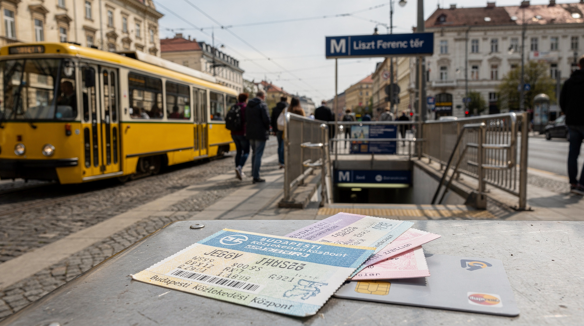
A single metro ticket costs 500 HUF when bought in advance (700 HUF on board). It is valid for one uninterrupted journey on a single line — you cannot change lines on a single ticket. To transfer between lines, you need a 90-minute ticket (850 HUF) or a travelcard.
For any day with multiple journeys, the 24-hour travelcard (2,750 HUF) or 72-hour travelcard (5,750 HUF) makes much more sense. A full breakdown of all ticket types is at public transport tickets; travelcard options are covered in detail at BKK travel passes.
The Budapest Card includes unlimited metro travel for its duration, plus more than 30 free visits and activities. Use the Budapest Card calculator to check if the card is worth it for your itinerary — see is the Budapest Card worth it for the honest breakdown.
Which line for which sight — a quick comparison
| Line | Colour | Best for | Accessibility |
|---|---|---|---|
| M1 | Yellow | Andrássy út, Heroes’ Square, Széchenyi Baths | Not accessible (stairs only) |
| M2 | Red | Keleti station, Parliament (via Kossuth tér), Batthyány tér | Limited lift coverage |
| M3 | Blue | Great Market Hall, National Museum, Nyugati station | Limited lift coverage |
| M4 | Green | Gellért Baths, Great Market Hall (Fővám tér side), airport-adjacent rail links | Fully accessible |
If mobility is a concern, plan routes around the M4 where possible and check BudapestGO for lift status on the other three lines before travelling.
Validating correctly
This catches many visitors. The validation process depends on the line:
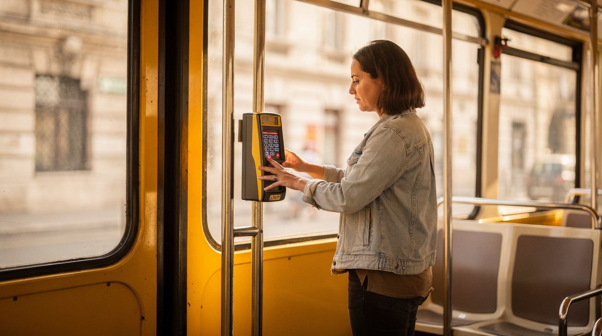
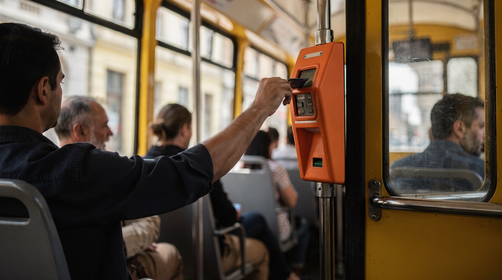
M2, M3, M4: These lines have entry barriers. Insert your ticket (or scan your card/phone) at the gate before entering the platform. The barrier opens if the ticket is valid. Exit is free without scanning.
M1: The historic line operates on an honour system — no barriers. There are validators inside the stations. Despite the lack of barriers, inspectors board trains frequently. Validate at the machines inside the station entrance before boarding.
Failure to show a valid validated ticket means an on-the-spot fine of 16,000 HUF (~€40). Inspectors do not accept “I didn’t know” as an excuse — this is standard enforcement in Budapest. Keep your validated ticket until you have completed your journey.
Key interchange: Deák Ferenc tér
All three of M1, M2 and M3 stop at Deák Ferenc tér, making it the central hub of the network. If you are not sure which line to take, getting to Deák and starting from there is always an option. The station has three separate underground levels, one for each line, connected by stairs and corridors. Follow the coloured line icons (yellow M1, red M2, blue M3) on the signage.
From Deák, the main sights are:
- Basilica: 10-minute walk
- Jewish Quarter (Dohány Street Synagogue): 15-minute walk or M2 to Astoria
- Great Market Hall: M3 to Kálvin tér, then walk 5 minutes
- City Park and Széchenyi baths: M1 direct
- Parliament: Tram 2 from the riverfront, or M2 to Kossuth Lajos tér
The M1 as a sight in itself
The M1 is worth riding end-to-end just for the architecture. The stations — Vörösmarty tér, Bajcsy-Zsilinszky út, Opera, Oktogon — have their original Jugendstil (Art Nouveau) tilework, small platforms and a distinctively Victorian atmosphere. The railway was built for the 1896 Millennium Exhibition celebrating 1,000 years of Hungary; the entire corridor from Vörösmarty to Városliget was designed as a prestige project.
Reading the signs and the platforms
Metro signage in Budapest is easier than it first looks. Each line has a colour and a number, and every platform shows the name of the terminus in the direction of travel. Pick the end-of-line station that lies beyond your destination and follow that name; it is the quickest way to be sure you are on the right side. Station names are also announced on board, and a map of the line sits above the doors, so you can count stops without needing a phone signal underground.
Interchange stations are the only places where you may need to think. At Deák Ferenc tér, take the time to read the coloured line icons before you commit to a staircase, because the corridors between levels are long enough that a wrong turn costs a few minutes. At Kálvin tér and Keleti pályaudvar, the M3/M4 and M2/M4 transfers work the same way: follow the colour you want and ignore the rest.
Metro routes for a first visit
If this is your first trip, the metro maps neatly onto the classic sights. Most visitors build a day around one or two lines rather than zigzagging across the network, and that approach saves both time and tickets. Our first time in Budapest guide shows how the main areas fit together, and the top attractions in Budapest list helps you decide which of them deserve the most time.
- A Pest culture day on the M1: ride from Vörösmarty tér along Andrássy Avenue, stop at the opera house, then continue to Heroes’ Square. The Hungarian State Opera and Heroes’ Square and City Park are both a short walk from their stations.
- A market and river day on the M3 and M4: head to Kálvin tér or Fővám tér, explore the Central Market Hall, and then cross the Danube on the M4 to the Gellért side.
- A baths day: the M1 serves Széchenyi, and the M4 serves Gellért. Compare them in the Széchenyi baths guide and the Gellért baths guide before you choose.
Because everything is linked through Deák Ferenc tér, you can mix and match these days freely. If your plans change at breakfast, the network adapts easily.
Travelling with luggage, children or limited mobility
The metro is manageable with a suitcase on the M4, where lifts remove the main obstacle. On the M1, stairs and narrow platforms make a large bag a real nuisance, so it is better to keep heavy luggage for a taxi or a transfer. For a family, the short gaps between trains on the busiest lines mean you rarely wait long, but a pushchair needs a lift-equipped station; check BudapestGO before you set out. More ideas for families are in Budapest with kids, and the accessible Budapest guide goes deeper on step-free routes across the whole city.
At peak times the M2 and M3 can be crowded. Step well inside the carriage, keep your bag in front of you and your phone out of sight near the doors. Pickpockets favour busy interchange platforms, so a little attention at Deák Ferenc tér goes a long way. For wider advice on staying safe, read is Budapest safe.
When the metro is not the best choice
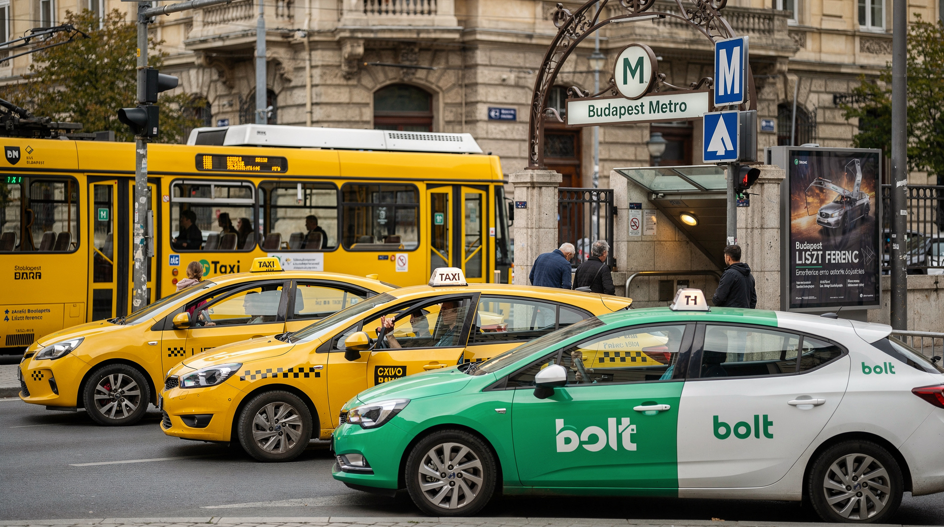
The metro is excellent for covering distance, but there are moments when another mode wins. After the last trains, you will be relying on night buses, the all-night trams, or a ride-hailing app; the taxis and Bolt guide explains how to get home late without being overcharged. For short hops inside the Grand Boulevard, walking or a tram can be faster than going down into a station, waiting and coming back up. And for a first look at the river and its bridges, a tram or a boat gives a better view than any tunnel.
Using the BudapestGO app
The free BudapestGO app is the most reliable tool for metro planning in Budapest. It shows real-time departures, planned engineering work, alternative routes during closures, and allows you to buy digital tickets. Download it before arriving — it works significantly better than printed maps when M3 engineering causes deviations.
For the wider getting around Budapest picture — trams, buses, night transport and Bolt — the full transport guide covers all modes together.
Metro plus tram: filling the gaps
The metro doesn’t reach everywhere, and Budapest’s tram network fills the gaps neatly. Tram 2 runs the Pest riverbank past the Parliament — one of the most scenic tram rides in Europe and a useful complement to the M2’s underground crossing. Trams 4 and 6 circle the Nagykörút (Grand Boulevard) 24 hours a day, connecting Blaha Lujza tér, Oktogon and Móricz Zsigmond körtér without ever going near a metro line. If a journey seems awkward by metro alone, check whether a tram covers it more directly and scenically. See getting around Budapest for the full network map.
From the airport to the metro network
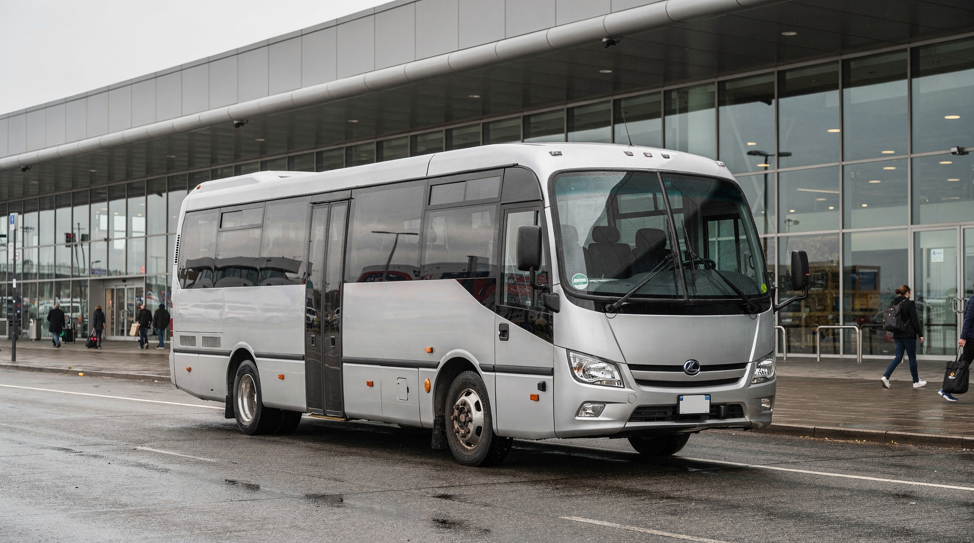
BUD airport has no direct metro connection. Bus 100E is the standard route to Deák Ferenc tér, where all three central lines converge — see Budapest airport to city centre for timings and alternatives, including private transfers.
Shared airport shuttle to central BudapestFrequently asked questions about Budapest metro guide
Which Budapest metro line goes to the airport?
No metro line goes directly to BUD airport. Take bus 100E from outside the airport to Deák Ferenc tér (35–40 min, 1,200 HUF). From Deák you can connect to any metro line. See the full airport transfer guide at /guides/budapest-airport-to-city-center/.Which metro line goes to Széchenyi baths?
Take the M1 (yellow line) to Széchenyi fürdő station — the stop is named after the baths. From central Pest, board at Deák Ferenc tér or Oktogon. Journey time from Deák is about 8–10 minutes.How late does the Budapest metro run?
Metro service ends between 23:00 and 23:30 on all lines. Night buses cover the metro corridors from midnight to 04:30. Trams 4 and 6 run 24 hours on the main Pest ring road. Check BudapestGO for exact last service times.Do I need to validate my ticket on the metro?
Yes. Validate your ticket at the yellow machines at the metro entrance before passing through the barriers (M2, M3, M4 have barriers; M1 operates on an honour system with spot checks). Failure to validate means a fine of around 16,000 HUF — inspectors board trains regularly and show no leniency to tourists.Is the M1 metro accessible for wheelchair users?
No. The M1 (the historic Millennium Underground) has very narrow platforms, steep stairs and no lifts. The M4 is fully accessible. The M2 and M3 have limited lift coverage — check BudapestGO for specific station accessibility before travelling with pushchairs or mobility equipment.Which metro line is best for getting to the Castle District?
No metro line reaches the Castle District directly, since it sits on Buda's hilltop. The closest metro stop is M2 Batthyány tér, from which you can walk (steep) or take bus 16 up to the Castle. Many visitors instead ride the M1 to Deák Ferenc tér and take bus 16 or the funicular from Clark Ádám tér. See /guides/buda-castle-guide/ for the full route options.Can I use the metro to reach the Great Market Hall?
Yes — take the M3 (blue line) or M4 (green line) to Kálvin tér or Fővám tér. From Kálvin tér it's a 5-minute walk south; Fővám tér is directly outside the Great Market Hall's main entrance. See /guides/great-market-hall/ for what to expect once inside.